
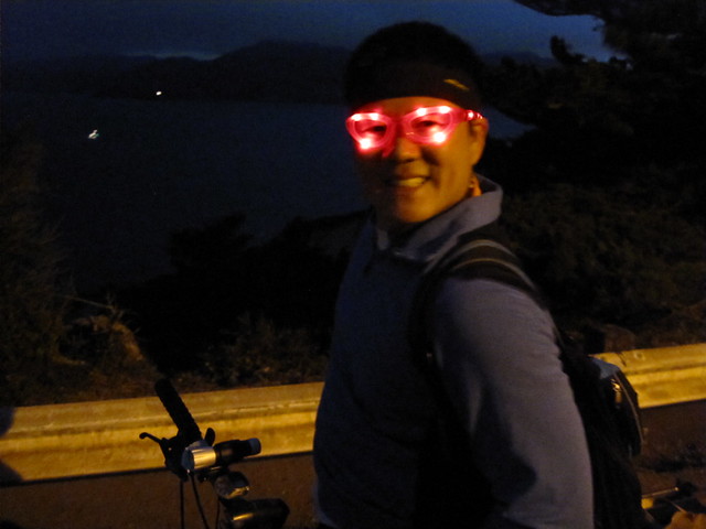
Bill sporting his awesome blinking-red-lights-glasses during last week's butterlap!
I'd like to thank Bill, a loyal reader and butterlap enthusiast, for always sending in informative maps of his almost weekly butterlap rides as well as his rides around the Bay. These Garmin maps are pretty nice, they show many details such as altitude, distance and time. Do you ride with one of those smart gadgets? Or how do you map your ride? Do tell.Well, here are Bill's latest shared map-links. Check them out!!
•• Maps ••
His latest two maps of Butterlap:

Garmin map: Butterlap, Sept. 8th
Garmin map: Butterlap, Sept. 1st
and Mt. Diablo:
"Stats from my ride yesterday all the way to the top of Mt. Diablo :) Absolutely amazing at the top by grueling from bottom to the top!"
Garmin map: Aug 15 Mt. Diablo
And from his Sunday ride in the East Bay:
Garmin map: Sept. 12 Mt. Diablo
Gotta love the maps+info. Very cool!


Rather an adventurous route!
ReplyDeleteAnd hmmm... The outline of that route resembles a Rhinoceros, facing to the left.
haaaa - great eye!! :D
ReplyDelete